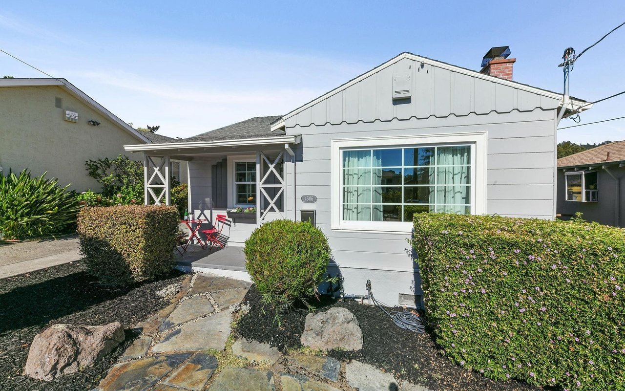
Moving to Berkeley can feel exciting and overwhelming at the same time. From afar, it is easy to think of Berkeley as one place, but your day-to-day experience can change a lot from one block to the next. If you are trying to figure out where you might feel most at home, this guide will help you research neighborhood fit in a practical, local way before you visit. Let’s dive in.
Why Berkeley fit is hyper-local
Berkeley is compact, but it is not one-size-fits-all. The City separates commercial districts, zoning, parcel data, bike routes, parks, fire stations, and wildfire and evacuation layers in its public tools, which shows how local neighborhood fit really is.
That matters because daily life can look different even within a short distance. A home near North Shattuck may feel very different from one near Telegraph, Solano, Fourth Street, Elmwood, or University Avenue, even if the drive between them is short.
The City also recognizes district associations in places like Downtown Berkeley, Telegraph, Elmwood, North Shattuck, Lorin, Fourth Street, Solano, Gilman, West Berkeley Design, and University Avenue. These groups may support shopping areas, cleanliness, walkability, and neighborhood events, which can shape how an area feels on an ordinary weekday or weekend.
Start with the address, not just the area
When you are relocating, neighborhood names are only a starting point. In Berkeley, it is smarter to research the actual address or block because zoning, parking patterns, slope, transit access, and hazard conditions can change quickly.
This is especially important now that Berkeley’s middle-housing zoning changes took effect on November 1, 2025. In many residential areas, the rules are meant to allow duplexes, triplexes, fourplexes, courtyard apartments, and other small-scale multifamily homes, but they do not apply in high fire hazard areas in the Berkeley Hills.
That means two homes with similar prices can sit in very different contexts. One street may be mostly single-family homes today with future potential for more housing types nearby, while another may have different land-use limits because of fire risk or slope conditions.
Use Berkeley’s GIS tools first
If you are researching from another city or state, Berkeley’s Community GIS Portal is one of the best places to begin. It lets you review parcels, zoning, transportation, recreation, environmental layers, city services, fire hazard data, evacuation maps, landslide zones, creek setbacks, and parking-related information.
This kind of map-based screening helps you narrow your search before you spend time on tours. Instead of asking only, “Do I like this neighborhood?” you can ask, “What does daily life look like on this specific block?”
A strong remote research process often includes checking:
- Parcel and zoning details
- Fire hazard and evacuation layers
- Landslide and creek setback information
- Nearby parks and bike routes
- Parking-related conditions
- Transit access by address
The City also has an emergency map that updates in real time and can be checked by address for evacuation or shelter-in-place status. If you are considering a hillside location, that should be part of your basic screening.
Compare walkability, transit, and biking
Many relocation buyers want to know if they can live with less driving. Berkeley is unusually walkable by national standards, with a citywide Walk Score of 85.
Still, the citywide number is only the beginning. Address-level walk, transit, and bike scores can help you compare one listing to another, especially if you are deciding between a flatter area near shopping and transit versus a quieter hillside location that may involve more driving.
Berkeley also has a Transit-First policy that supports bus lanes, shelters, signal timing changes, crosswalks, and bike lanes that connect to BART. The city has seven bicycle boulevards designed as safer and easier bike routes, which can be a big quality-of-life factor if you bike regularly.
Understand BART and commute tradeoffs
Berkeley has three BART stations: Downtown Berkeley, North Berkeley, and Ashby. Each one connects to a different day-to-day rhythm, so it helps to think about the station area, not just the train line.
Downtown Berkeley Station is on Shattuck near UC Berkeley and neighborhood amenities, and it offers valet bike parking. It does not have parking, which can be a plus or a minus depending on how you plan to commute.
North Berkeley Station connects to the Ohlone Greenway, while Ashby Station serves South Berkeley on Richmond–Berryessa/North San Jose and Richmond–Millbrae/SFIA lines. If transit is a priority, test your likely route from each address you are considering and compare not only travel time, but also how easy the first and last part of the trip feels.
Check parking before you fall in love
In Berkeley, parking can be its own neighborhood variable. The City uses demand-based parking pricing and time limits in commercial areas, and station parking is not the same at every BART location.
This becomes especially important if you are considering an area where you expect to drive often, host visitors, or rely on curb parking. Downtown Berkeley Station has no parking, and the closest station parking is at North Berkeley or Ashby.
If parking matters to your household, review it early. A beautiful home can feel less convenient if the block’s day-to-day parking reality does not match your routine.
Look at parks and everyday amenities
Neighborhood fit is not just about the home. It is also about where you walk, where you spend time outdoors, and how easily you can reach the places you use most often.
Berkeley reports more than fifty parks, and access varies by area. For example, Willard Park is a key neighborhood park in Southeast Berkeley, while Great Stoneface and Mortar Rock are Northbrae rock parks with trails and climbing features.
Commercial districts also shape convenience in a very real way. Since district associations may support neighborhood events, policy advocacy, cleanliness, and walkability, nearby business corridors can influence how active and connected an area feels.
Verify school assignment by address
If school assignment is part of your move, do not assume a neighborhood name tells you what applies. Berkeley Unified School District uses address-based attendance zones and maintains a student assignment plan with three elementary attendance zones that are reviewed periodically.
That means you should verify school assignment by address before you make a decision. This is one of the clearest examples of why Berkeley relocation research works best at the property level rather than the neighborhood-label level.
Know the housing mix on each street
Berkeley has a broad housing mix, including single-family homes, duplexes, apartment buildings, accessory dwelling units, and rooming houses. Depending on your goals, that can be a benefit, but it also means one block may feel very different from the next.
The city’s newer middle-housing rules add another layer to your research. In many formerly low-density areas, small-scale multifamily housing types may become more common over time, so it is worth understanding both what is on the street now and what may be allowed nearby.
If you are choosing between a condo, bungalow, or single-family home, think about how much privacy, outdoor space, flexibility, and future neighborhood change you are comfortable with. Fit is not just about price point. It is about how the setting supports your routine.
Factor in hills and fire readiness
For hillside buyers, topography is more than a view question. Berkeley advises Hills residents to leave during Extreme Fire Weather before a fire starts, and the City’s GIS and hazard maps help identify very high fire hazard areas and other environmental constraints.
That does not mean hillside living is off the table. It means preparedness should be part of your neighborhood fit checklist if you are comparing homes in elevated areas.
When researching from afar, it helps to compare:
- Whether the address is in a high fire hazard area
- Nearby evacuation information
- Slope and landslide conditions
- Driving access and route options
- Your comfort with fire-weather planning
Build a smart remote short list
A good Berkeley relocation search usually gets easier once you stop trying to “learn every neighborhood” all at once. Instead, build a short list around your real priorities and use local data to test each option.
A helpful short-list process might look like this:
- Pick your top priorities, such as walkability, commute, parking, housing type, or park access.
- Review address-level GIS maps for hazards, zoning, and city services.
- Compare BART, bus, bike, and driving routines from each location.
- Check parking conditions and commercial corridor access.
- Verify school assignment by address if needed.
- Narrow to a few homes or blocks for an in-person visit.
This kind of pre-screening can save time, reduce stress, and make your eventual visit much more productive. It also helps you focus on homes that truly match your lifestyle instead of chasing broad assumptions about a neighborhood name.
Why local guidance helps
When you are buying from afar, information is everywhere. The harder part is knowing which details matter most for your life and how to weigh them together.
That is where a neighborhood-focused, relocation-friendly approach can make a real difference. Instead of looking at listings in isolation, you can compare commute patterns, parking realities, housing context, hazard maps, and everyday convenience in one clear process.
In a market like Berkeley, the goal is not just to find a home that looks good online. It is to identify the block, setting, and daily rhythm that feel right for you before you arrive.
If you want help narrowing Berkeley neighborhoods, comparing commute and lifestyle tradeoffs, or creating a smart relocation short list, reach out to Diana Ip for a thoughtful, local conversation.
FAQs
How should you research Berkeley neighborhoods from another city?
- Start with the specific address or block, then review Berkeley’s GIS tools for zoning, hazard layers, parks, transit access, and parking-related information before comparing neighborhood names.
Why does neighborhood fit in Berkeley vary so much by block?
- Berkeley’s commercial corridors, transit access, parks, parking conditions, slopes, and hazard areas can change quickly, so two homes in the same general area may offer very different day-to-day experiences.
What transit options should you compare when relocating to Berkeley?
- You should compare BART access, AC Transit connections, bike routes, walkability, and the first-and-last part of your commute from each address you are considering.
What should hillside homebuyers in Berkeley check first?
- Review whether the address is in a very high fire hazard area, look at evacuation and landslide information, and make sure you are comfortable with local fire-weather planning.
How do you confirm school assignment for a Berkeley address?
- Berkeley Unified uses address-based attendance zones, so school assignment should be verified by the property address rather than assumed from the neighborhood name.
What housing types are common in Berkeley neighborhoods?
- Berkeley includes single-family homes, duplexes, apartment buildings, accessory dwelling units, and other smaller-scale housing types, with middle-housing rules allowing more options in many residential areas.